
Inspection reports, file folders, erosion control plans, applications, deeds, project checklists…
A local erosion control program can go through a lot of paper — hardly a sustainable practice. With over 200 active erosion control permits and projects, staff driving all over the county to inspect sites, a pandemic that closes offices to the public, and staff who are working remotely, you have a perfect storm — or a perfect opportunity — for a new way to do things.
Durham County, North Carolina is now utilizing three new, innovative, electronic methods to both control the amount of paper it receives and produces, and geographic information system (GIS)-based tools for managing its inspections.
COVID-19 completely altered the global workplace, and Durham County’s Erosion Control Program was not immune to the challenges it created. Construction in Durham did not slow during the pandemic and the county worked to identify and implement electronic means for plans submittals, plan review and payments to continue meeting our objectives and provide quality customer service as though nothing had changed.
The first of three key tools in solving the problem faced was the utilization of a cloud-based content management system. With Box, the program was able to not only develop and provide online portals for engineers and consultants to electronically submit plans, but it gave us the ability to house all project information in one easily accessible place. Staff can access project files at home, at work and out in the field. A cloud-based system also provides the opportunity for staff to communicate and collaborate directly with customers regarding project comments and approval.
The next tool to reduce paper consumption and assist customers remotely was the ability to provide plan review comments electronically via Bluebeam Revu®.
Previously, comments were handwritten or typed on a document and would reference a specific location on the plans where the change was requested. Bluebeam gives staff the ability to add comments and draw changes directly on the plans and if needed, staff can review and markup plans together in real time without the need to be in the same location. Similarly, staff can work through reviews with engineers in real time to come up with the best solutions for preventing potential site concerns.
Another key tool to move plan submittal and permitting online was the implementation on an online payment system via Paymentus. Consultants and other permittees had been clamoring for an option to pay fees online or with credit cards for years. With the implementation of online payments, review fees for submittals can now be paid online, which has reduced the number of mailed or hand-delivered checks. Not only did the online payment system fulfill the development community’s request, but it also helped to limit the time administrative staff spend in the office collecting checks and handling deposits.
The final component of the program’s efforts to go electronic is the use of GIS in our inspections program. In the summer of 2019, the county began beta testing iPads outfitted with GIS survey software to conduct its inspections and fill out electronic inspection reports which are then housed in a GIS database.
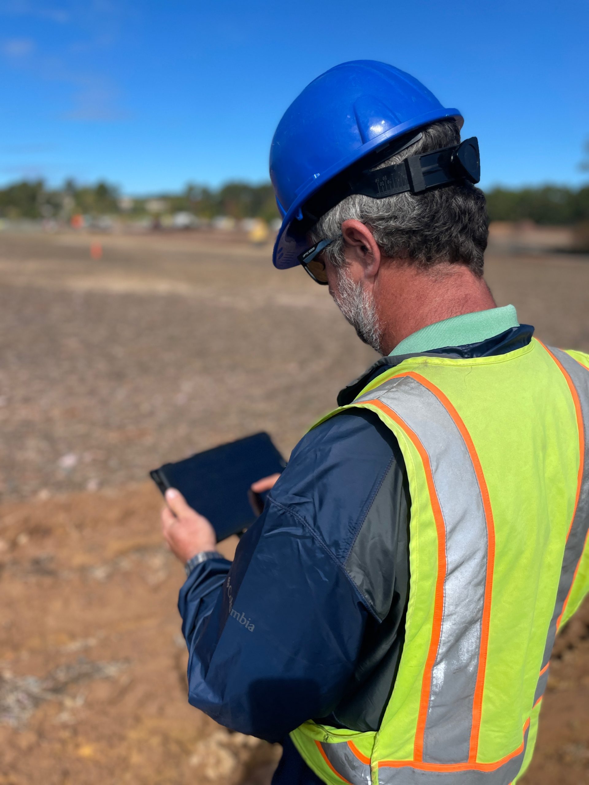
While this transition was slowed by the pandemic, the database is now fully operational. The database makes use of Esri’s ArcGIS Survey123 and allows for staff to complete inspections on any mobile device with the app. Inspection staff can use tablets (Figure 1), or even their phones, to fill out inspection reports in the field and send them directly to site contacts via email before leaving the project. Photos may be attached and problem areas geo-referenced for quick identification of issues to be addressed.
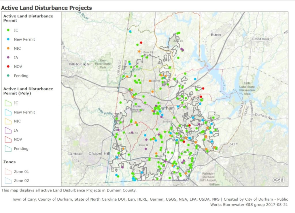
Additionally, with Box, staff can access electronic plan sets for use on site. Back in the office, staff have access to a GIS-based database containing information on all permitted projects (Figure 2). Projects are represented as points with different colors representing project status. The categories include In Compliance, Not in Compliance and Notice of Violation. The record also indicates if the project has not been inspected within a month. This allows staff to prioritize sites as well as optimize their driving route to save time and fuel.
Mounds of paper, stuffed file cabinets, inspectors running all over town to different sites — these are just some of the challenges local government erosion control programs face. However, as Durham County’s Erosion Control Program has shown, there are better methods for document storage, communications with developers, and even creating driving routes for inspectors. All these practices create not only a more efficient program, but also a more sustainable one.
About the Expert
Ryan D. Eaves, PE, CFM, CPESC, is the Stormwater and Erosion Control Division Manager for Durham County in Durham, North Carolina. Eaves holds a bachelor’s in Environmental Science from Virginia Tech and an MPA from the University of Georgia. He has over 16 years of local government stormwater and erosion control experience.


